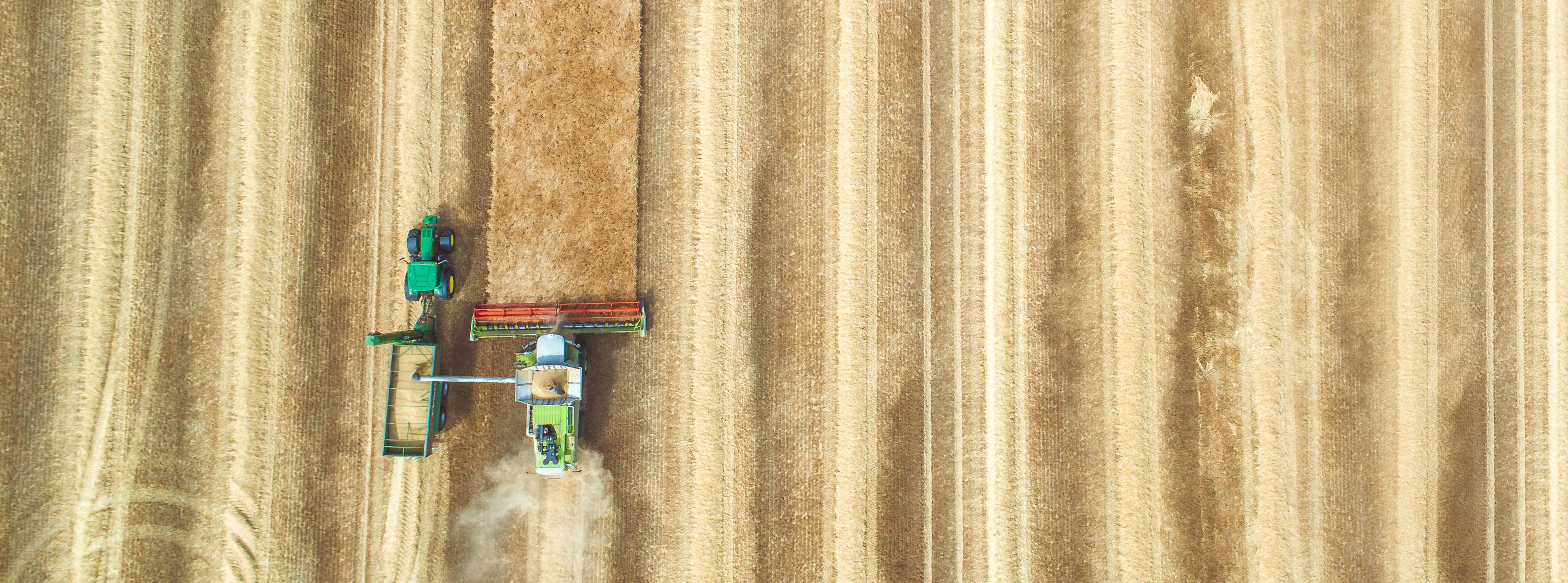
The development and implementation of precision or site-specific farming has been made possible by combining Global Positioning System (GPS) and geographic information systems (GIS). These technologies combine real-time data collection and accurate position information. GPS-based applications in precision farming are being used for farm planning, field mapping, soil sampling, tractor guidance, crop scouting, variable rate applications and yield mapping. GPS allows farmers to work during low visibility field conditions such as rain, dust, fog and darkness.
Drones can cover more ground in a shorter amount of time than people and can collect data on:
Many producers are interested in these technologies but either don’t know where to start or what to do with the data once it is collected. Others might be using them but would like to learn how to use them to the fullest. Regardless of your current status, this non-credit informational program will help to explain use of drones, GIS and GPS in your farming operation and answer some of your questions.
For more information, contact Paula Nurrenbern, manager, customized solutions, at pjnurrenbe@usi.edu or 812-461-5425.
Request more information